vue - NDVI for Agricultural Mapping Walkthrough
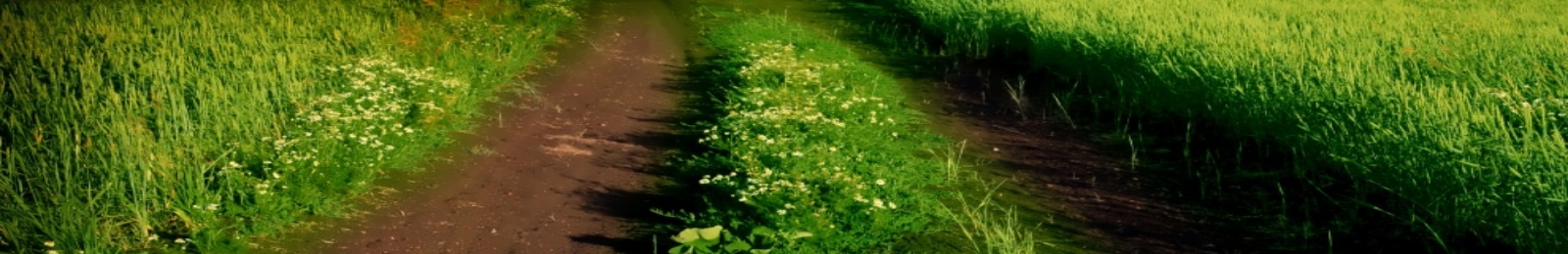
We visited Homegrown Agriculture in Bethel, NC to demonstrate droning for agriculture. We used an NDVI (Normalized Difference Vegetation Index) camera which uses infrared light to measure plant/crop health. With an application on our iPad, we were able to create a mission so that the drone flew itself around the area we mapped out. On the mission, the camera picked up heat and moisture levels. This allows farmers to tell which areas are healthy and which areas need pesticides or increased water. This footage was obtained with an Inspire 1 V2.0 and data was mapped using Pix4D Mapping Software. To purchase a Inspire 1 V2.0 visit: https://gounmanned.com/dji-inspire-1-v2.html To purchase Pix4D Mapping Software visit: https://gounmanned.com/pix4d-mapper-pro.html To learn more about drones for agricultural use, call us today and our drone experts will help: 866.342.7665. Go Unmanned is a trusted provider of the most popular drones and UAV systems on the market with complete support & training! Visit us: on the web: https://www.gounmanned.com/ Facebook: https://www.facebook.com/GoUnmanned Twitter: https://twitter.com/GoUnmanned LinkedIn: https://www.linkedin.com/company/go-unmanned Pinterest: https://www.pinterest.com/gounmanned/ Google+: (Raleigh, NC) https://plus.google.com/+GoUnmannedRaleigh Google+: (Concord, NC) https://plus.google.com/+GoUnmannedConcord Instagram: https://www.instagram.com/gounmanned/
Commentaires
-
Nice! What software did you use around the 1:25 mark to analyze the data?
3Évaluation